Introduction to remote sensing - 10 ects
Process and analyze satellite images for natural resource management
Satellites record images in visible light but also in near infrared. These images yield a fortune of information used for the management of natural recourses. In this module you will learn how to process these images to enhance those features that are important for a particular problem. For instance you will recognize crops and plant communities on the images using the colors on the images. In most cases you would need to combine knowledge on the colors of the images with field observations.
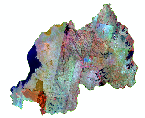
Mosaic of satelite images
You will also learn how to automate this process using sophisticated computer programs. You will use multiple images for early detection of problems like draught in Africa. You will be able to use the mainstream program Erdas Imagine.
Detailed description
For more information, click here.